


 CATALOG AND PRICE LIST
 ENERGY
 COMPUTER SCIENCE
 INSTALLERS
 BLOG CONSEIL


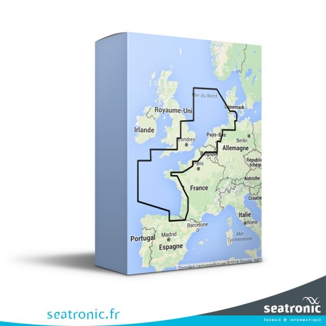
The marine maps
The mapmedia "Wide" charts correspond to a large area such as France, Sweden...
The mapmedia "Wide" charts proposed by the company informatique&mer (maxsea compatible) are issued from the official world hydrographic services, which facilitates the transition from paper charts to digital cartography. Each area offers in electronic format the equivalent of all existing paper charts of the local hydrographic service.
To view the details of this zone, you can click on this link.
