Two chart formats are available:
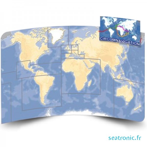
Mapmedia charts: This chart format is developed by the company informatique&mer and works only with maxsea. Coverage is worldwide, and the charts offered are derived from official hydrographic services, facilitating the transition from paper charts to digital cartography. The charts are offered at a competitive price in different zone formats (standard zone, wide zone and mega wide zone). Tidal current charts are also available.
Maptech charts: Maptech distributes charts in bsb format (the official NOAA (National Ocean & Atmospheric Administration) format). This chart format, promoted by the Americans and distributed by Maptech, is a proprietary format with some of the best coverage in the world. The charts available for France are those of the Shom. Mapmedia charts are distributed with offshore navigator lite software.
For more information on the different electronic chart formats available, please consult our advice site.